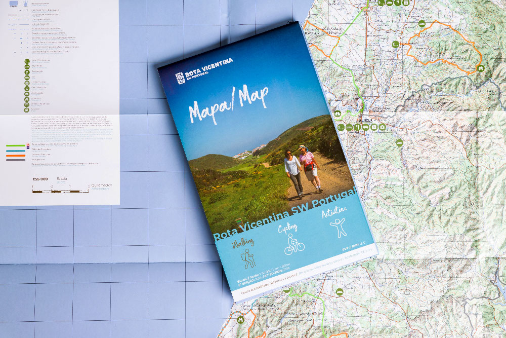
Topographic map of Walking Trails of the Rota Vicentina, at a scale of 1:55,000, resistant to dust and splashes.
It includes all the details about the Historical Way, Fishermen’s Trail and Circular Routes, as well as services and attractions.
15,00 €
Official Map of Rota Vicentina
If you are coming to hike in the Rota Vicentina or visit Southwest of Portugal, a good map is all that you need to be always a step ahead. Bring all important information with you!
In stock
Check the conditions for international shipping on Terms and Conditions webpage. Shipping via DHL Express does not allow delivery to P.O. boxes and/or lockers.
Topographic map of Walking Trails of the Rota Vicentina, at a scale of 1:55,000, resistant to dust and splashes.
It includes all the details about the Historical Way, Fishermen’s Trail and Circular Routes, as well as services and attractions.
| Weight | 0,3 kg |
|---|---|
| Dimensions | 31,7 × 23,8 × 0,2 cm |
| Edition | 6th edition, 2019 |
| Reprint | 2023 |
| Scale | 1:55 000 + Grid |
| Tracks | Complete Rota Vicentina tracks and touristic services |
| Cartography | Cartography from the Geospatial Information Centre of the Army |
| Other features | Leaflet |
| Languages | English and Portuguese information |
Rota Vicentina is not responsible for the stock in each of the physical selling points.
Subscribe to the newsletter here to keep up to date with everything that happens on Rota Vicentina.